About New Orleans Streetcar Lines
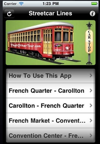
New Orleans Streetcar Line is a comprehensive navigation tool that shows you every streetcar stop on the St. Charles Ave Line, Riverfront Line, Canal St to Cemeteries Line, Canal to City Park/Museum Line. Create your own...
New Orleans Streetcar Line is a comprehensive navigation tool that shows you every streetcar stop on the St. Charles Ave Line, Riverfront Line, Canal St to Cemeteries Line, Canal to City Park/Museum Line. Create your own streetcar line schedule than hop on and hop off at your leisure. Don t depend on another tourist or local who may or may not know the next streetcar stop. Never guess if you passed your streetcar stop! You can easily scroll up and down the app to see which streetcar stop is close to your location. Streetcar Lines Available: The St. Charles Streetcar Line which starts at the corner of Carondolet Street and Canal Street in the Central Business District and ends at South Carrollton Avenue and South Claiborne Avenue. The Riverfront Streetcar Line which starts at the French Market (Esplanade Avenue) and ends at the New Orleans Convention Center (John Churchhill Chase). The Canal - Cemeteries Streetcar Line which starts at the Mississippi Riverwalk and Canal Street (Harrah's Casino) and ends at City Park Avenue and the historic city cemeteries (also known as lakeside or the old northern edge of town). The Canal - City Park/Museum Streetcar Line which starts at the Mississippi Riverwalk and Canal Street (Harrah's Casino) and ends at City Park s Beauregard Circle, Esplanade Avenue and Bayou St. John, near the entrance of the New Orleans Museum of Art. Features: * Easy to Use. * 100% Ad Free * Ability to map directions with a tap. * Streetcar stops are available offline. * Easy scrolling through the streetcar list. * Maps available at your fingertips. * Several views, street, map, terrain and hybrid. * Stops are listed by carstop number and street name. * Ability to expand view with the pinch of your fingers. * This app is the app you can' when visiting New Orleans. * Covers the French Quarter, Central Business District, Garden District, Uptown, University, Audubon Park and Carrollton, Midtown and City Park. Internet access is required to see mapped locations. Internet access is not needed to see the streetcar stops. Requirements: Requires iOS 4.0 or later Compatible with iPhone, iPod Touch and iPad** ** iPod Touch and iPad requires Internet access. Please see instructions.
Requires iOS 3.0 or later. Compatible with iPhone, iPad, and iPod touch.
Previous Versions
Here you can find the changelog of New Orleans Streetcar Lines since it was posted on our website on 2016-11-09 17:24:25.
The latest version is 1.1.1 and it was updated on 2024-04-19 21:39:07. See below the changes in each version.
New Orleans Streetcar Lines version 1.1.1
Updated At: 2011-04-07
Disclaimer
Official App Store Link
We do not host New Orleans Streetcar Lines on our servers. We did not scan it for viruses, adware, spyware or other type of malware. This app is hosted by Apple and passed their terms and conditions to be listed there. We recommend caution when installing it.
The App Store link for New Orleans Streetcar Lines is provided to you by apps112.com without any warranties, representations or guarantees of any kind, so access it at your own risk.
If you have questions regarding this particular app contact the publisher directly. For questions about the functionalities of apps112.com contact us.